![[Yosemite]](/images/yosemiteicon.png)
Day 1 - Mirror Lake TH to Snow Creek Trail to campsite north of Mount Watkins
Day 2 - Campsite to Olmsted Point to Tenaya Lake to Sunrise Lakes
Day 3 - Sunrise Lakes to Clouds Rest to JMT (Sunrise Creek) to High Trail leading towards Merced Lake to campsite on bluff before Echo Valley
Day 4 - Echo Valley to Lost Valley to Little Yosemite Valley to JMT to Mist Trail to Happy Isles to Half Dome Village for pizza/beer
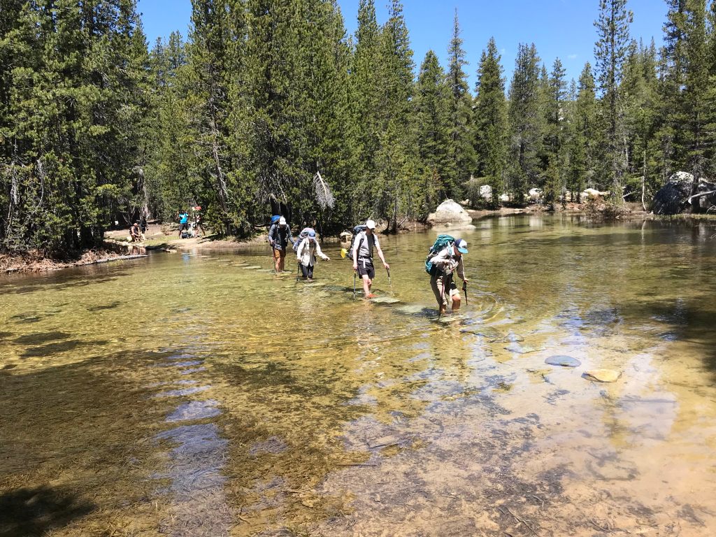
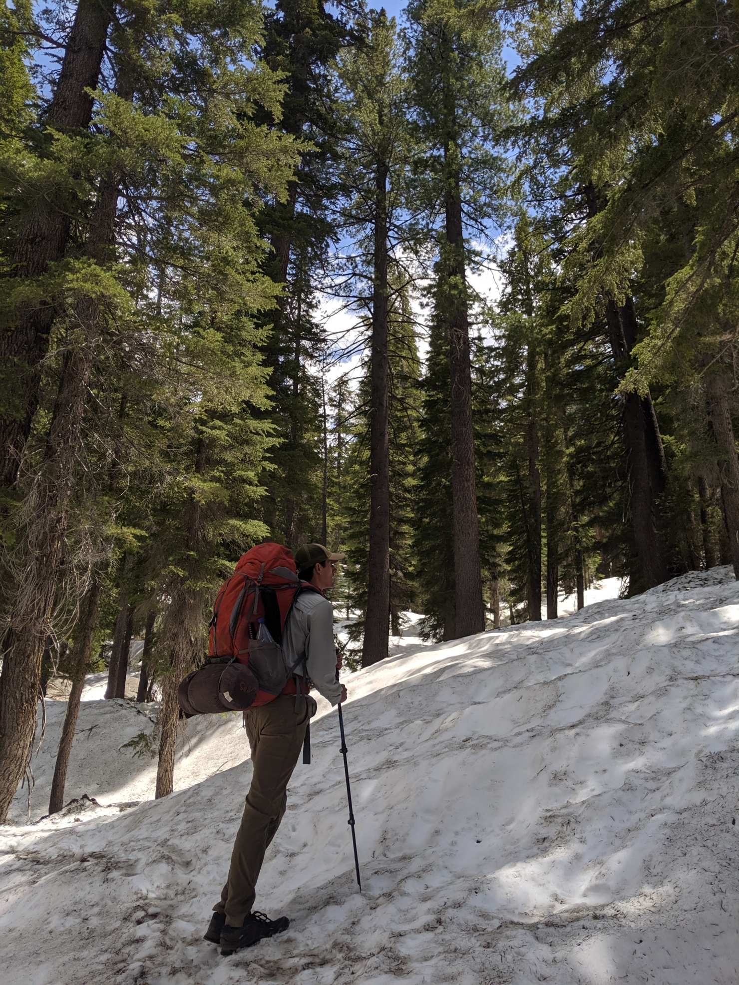
I had previously asked for advice about this trip plan and you all gave some helpful tips. Thank you for the help! Overall we had a great time with few if any issues. Tenaya Creek was only knee deep (using the stepping stones) and was actually reasonably warm. There was still a descent amount of snow between Tenaya Lake and Sunrise, but we were able to navigate this area without even consulting our GPS. Plus the snow was hard enough that we never postholed. Sunrise Lakes was mosquito infested, but we came prepared with DEET and bug nets. Our two other campsites were very nice with not too many bugs.
Here is the full trip report I wrote up with all my pictures: https://backpackers-review.com/trip-rep ... ckpacking/
And here are some highlights:
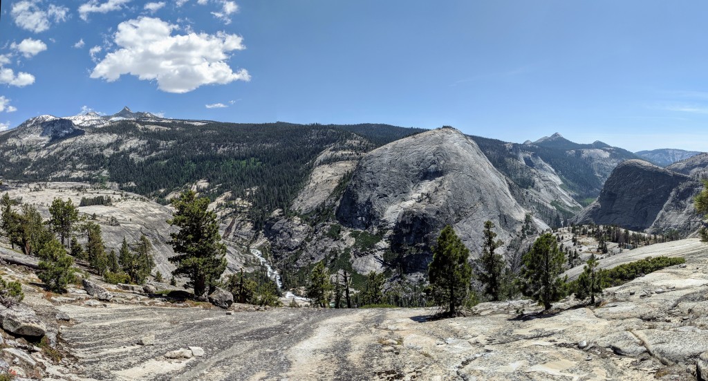
Snow Creek Trail view
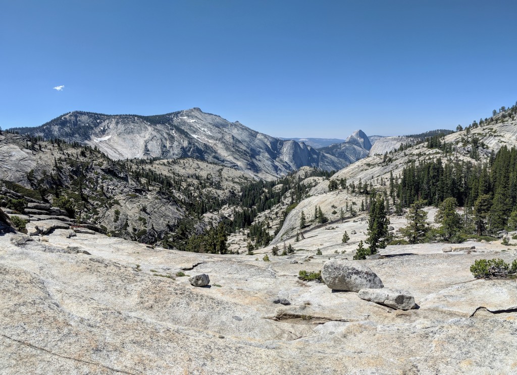
Olmsted Point view
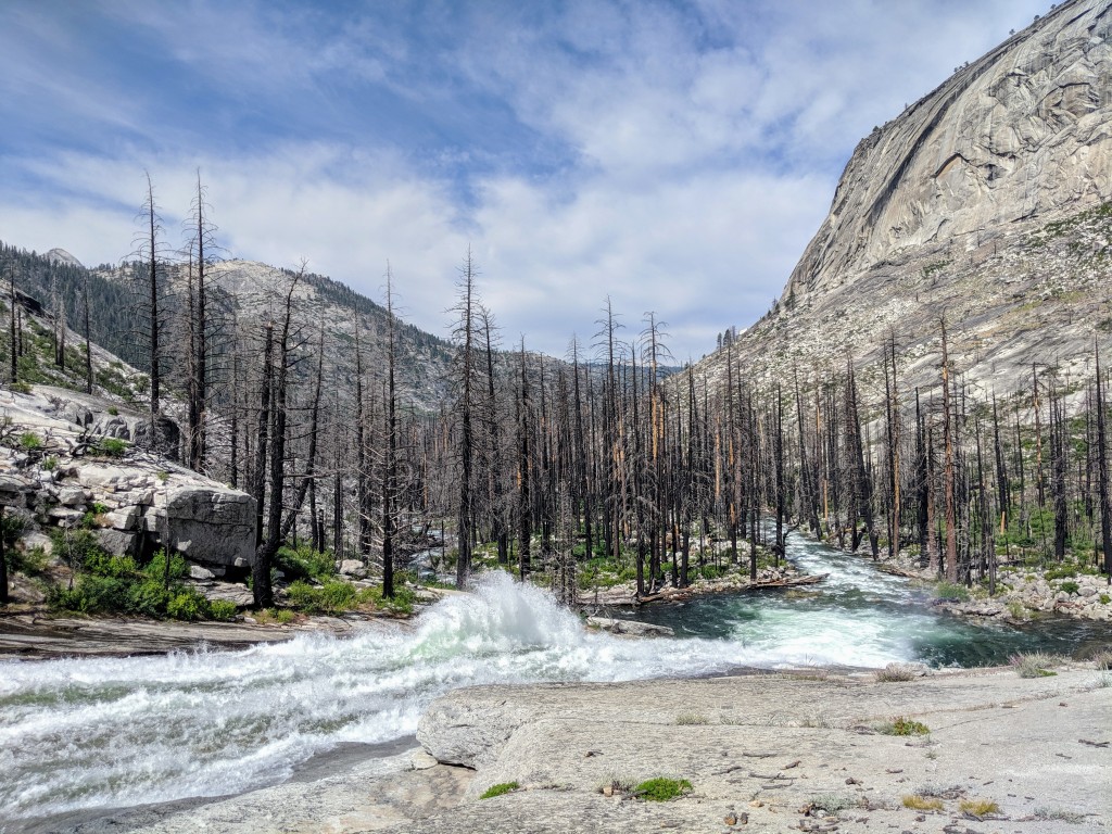
Tenaya Creek crossing
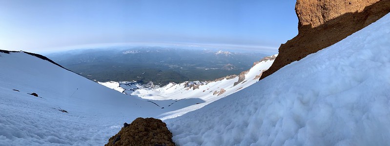
Snow on way to clouds rest
Lookout near sunrise
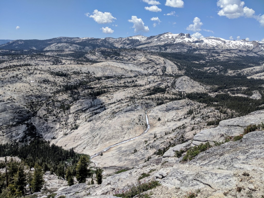
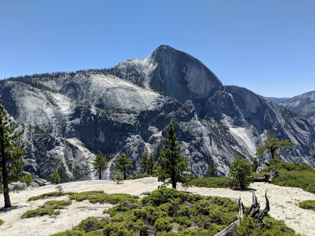
High Trail view
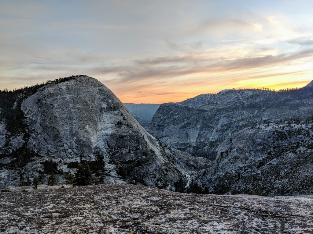
Lost Valley Sunset
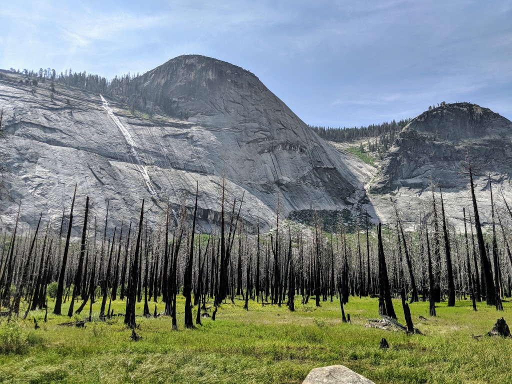
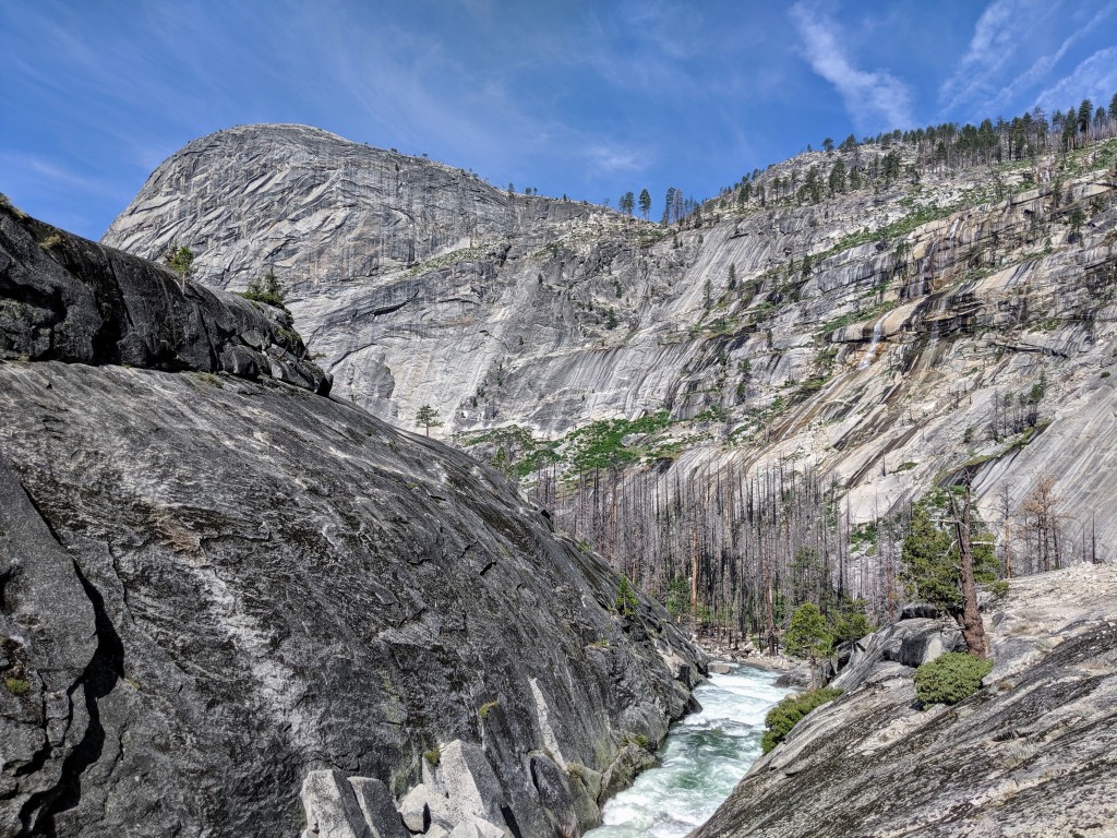
Lost Valley river
Little Yosemite Valley