Home A - Z FAQ Bookstore Art Prints Online Library Discussion Forum Muir Weather Maps Lodging About Search
CalHotels.US--online reservations now CalHotels.US Lowest Hotel Rates Guaranteed. Click Here For Yours!
Hotel photos, maps, reviews, & discount rates.

U.S. Hotels in California (Yosemite, L. A., San Francisco ), AL, AK, AR, AS, AZ, CA, CO, CT, DC, DE, FL, FM, GA, GU, HI, ID, IL, IN, IA, KS, KY, LA, ME, MD, MA, MI, MN, MS, MO, MT, NE, NH, NJ, NY, OK, NV, MH, MP, NM, NC, ND, OH, OR, PA, PR, PW, RI, SC, SD, TN, TX, UT, VT, VA, VI WA, WV, WI, WY

[Yosemite]

Panorama trail

Hiking, backpacking, running, biking, climbing, rafting, and other human-powered activities in Yosemite National Park

Moderators: Wickett, dan

Panorama trail

Postby _Gabe_ » Fri Oct 09, 2009 5:16 pm

Hello All,

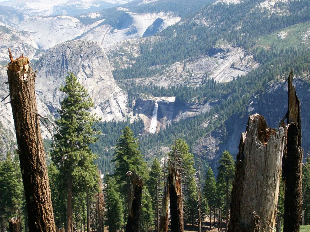
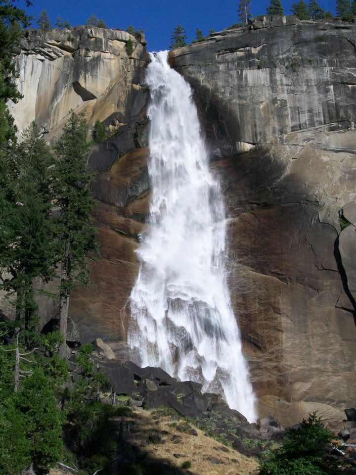
I'm planning a 3 day/2 night hike later this month. I'm not planning on going to TM because I dont want to run the risk of cancelling the trip due to possible snowfall...So I was thinking of doing the Panorama Trail from Happy Isles to Glacier Point then taking the 4 Mile hike down to the Swinging Bridge in the valley floor. I have never done this trail but I hear its nice but it may be too short for a 3 day trip. Early this year I did a 4 day trip covering about 35 miles...which was a good distance.

What suggestions do you have for a 3 day trip out of the valley...and it would have to be loop of some kind. I'm thinking around 20 - 25 miles.

Thanks,
Gabe
_Gabe_
Frequent poster
Frequent poster
 
Posts: 47
Joined: Fri Mar 27, 2009 10:42 am
Location: central valley, CA

Postby ryanmj » Fri Oct 09, 2009 6:42 pm

you could go up snow creek stay around north dome for a night than head across to the top of el cap for a night than come down yosemite falls the next day or do it the other way. Ive never camped up their but ive done the loop in a day (not going to elcap) and it was about 18-19 miles. With el cap included it would be around 25 miles i think.
ryanmj
Frequent poster
Frequent poster
 
Posts: 31
Joined: Mon Aug 03, 2009 7:14 pm

Postby _Gabe_ » Fri Oct 09, 2009 7:22 pm

Is this is very scenic route to take?
_Gabe_
Frequent poster
Frequent poster
 
Posts: 47
Joined: Fri Mar 27, 2009 10:42 am
Location: central valley, CA

Postby AlmostThere » Fri Oct 09, 2009 8:03 pm

North Dome is very scenic, but that area has few water sources. Unless it snows, but sometimes folks don't like that either. Check with a ranger before going on any hike to be sure there's water where you're going. Lots of small streams are dry this time of year. Yosemite Falls is steep as is Snow Creek, btw. The Four Mile Trail is also steep but not as exposed.

If you wanted to make a two night trip out of Happy Isles to Glacier, you might consider staying in Little Yosemite Valley. Another option might be LYV and Merced Lake, or Clouds Rest. The Half Dome cables are coming down within a week from now but Clouds has no such issue. Just don't go up if it's looking stormy at all. There are campsites near the fork to the peak.

You can't camp anywhere between Happy Isles and Little Yosemite Valley, and along the Panorama you are probably going to want to set up in the Ilillouette drainage, which is only four miles out from Glacier Point.
AlmostThere
Veteran-poster
Veteran-poster
 
Posts: 2077
Joined: Fri May 15, 2009 6:57 pm
Location: Central Valley California

Postby baseline bum » Sun Oct 11, 2009 4:29 am

If you've never done Panorama, it's really not to be missed. It's just constant great scenery. Let me share a few pics from when I did it in late August:

http://i641.photobucket.com/albums/uu13 ... 0_0797.jpg
http://i641.photobucket.com/albums/uu13 ... 0_0852.jpg
http://i641.photobucket.com/albums/uu13 ... 0_0856.jpg

Clouds Rest is a lot of fun too; I thankfully got that one in also on my trip to Yosemite.

Here's some pics my brother and I took at/near the summit.
http://i641.photobucket.com/albums/uu13 ... 0_0916.jpg
http://i641.photobucket.com/albums/uu13 ... 0_0918.jpg
http://i641.photobucket.com/albums/uu13 ... 0_0902.jpg
http://i641.photobucket.com/albums/uu13 ... 0_0892.jpg

Last one is looking out towards Mount Clark.

I have never done the other trails mentioned, but I just wanted to second some of the recommendations.
baseline bum
Very frequent poster
 
Posts: 51
Joined: Fri Jul 17, 2009 10:31 pm
Location: San Antonio, Tx

Postby _Gabe_ » Sun Oct 11, 2009 11:40 am

Thanks for the suggestions and pictures everyone...So yeah Panorama Trail to Glacier Point then down the 4 Mile Trail it is!

I have two more questions....is camping allowed around Glacier Point?

Also since the wilderness permits are on a first come first serve basis on October 31st which is a Saturday...is the demand still high at this time of year?

Thanks again.
_Gabe_
Frequent poster
Frequent poster
 
Posts: 47
Joined: Fri Mar 27, 2009 10:42 am
Location: central valley, CA

Postby AlmostThere » Sun Oct 11, 2009 12:12 pm

There is no camping near Glacier Point. You must be 2-4 miles from the road to wilderness camp, and there is no point close to Glacier Point that isn't closer than that. (2-4 depending on where in the park you are - the more popular the area, the further you have to go). That's why I mentioned Ilillouette, that's the closest you can camp to Glacier Point.

There are first come/first serve permits all year. What you are describing is the non-quota period - there will be no quotas because this late in the year, there is almost no demand. You will be able to go no problem.

You need to be prepared for snow and low temps. The four mile trail has been known to get slippery and dangerous in wet/snowy conditions. Glacier Point Road will be closed if significant snow falls, usually by mid November.

For sure, study the wilderness regulations and the maps, make detailed plans, write them down and follow them as well as you can. Leave them with someone trustworthy. Don't let this happen to you. http://www.friendsofyosar.org/rescues/2008/11-12-08_Frazier_Search.html
AlmostThere
Veteran-poster
Veteran-poster
 
Posts: 2077
Joined: Fri May 15, 2009 6:57 pm
Location: Central Valley California

Postby _Gabe_ » Mon Oct 12, 2009 7:18 am

By Illiloutte do you mean near Illiloutte Falls?

How about camping near Panorama point?

Again I never been on this trail, only asking from what I see on my map.

Thanks.
_Gabe_
Frequent poster
Frequent poster
 
Posts: 47
Joined: Fri Mar 27, 2009 10:42 am
Location: central valley, CA

Postby AlmostThere » Mon Oct 12, 2009 7:36 am

I mean the creek - I guess you could camp near the falls, but you have to be a minimum of 100 feet from the trail, too. Check with the ranger about water in the area, the falls has been dry for a couple months.

It doesn't say you can't, so I'd guess you could camp on the point. But, it'll probably be a dry camp.

http://www.nps.gov/yose/planyourvisit/wildregs.htm

Have fun. Be safe. It's beautiful out there.
AlmostThere
Veteran-poster
Veteran-poster
 
Posts: 2077
Joined: Fri May 15, 2009 6:57 pm
Location: Central Valley California

Postby bill-e-g » Mon Oct 12, 2009 9:37 am

You can't camp at Panorama Pt.
You have to be in a bit from the Falls. Actually quite a bit.
Technically you cannot camp anwhere on the Panorama Trail.
Heading E to Nevada Falls where Panorama Trail meets the trail
heading S to Starr King and the Ill. Basin there are some
campspots. Technically you are not suppose to camp here but
they give it a pass. In other words they don't want you to camp
there but it's probably ok. Just don't make any new fire pits.

There will be water in Ill. Creek. There always is.
You may have to look for some pools though.
User avatar
bill-e-g
Veteran-poster
Veteran-poster
 
Posts: 795
Joined: Tue Jun 24, 2008 5:57 am
Location: Table Lake, YNP

Postby _Gabe_ » Sun Oct 18, 2009 7:33 pm

Has anyone hiked this trail recently? I'm scheduled to go up there in about 12 days and was wondering about the conditions. I hear the temps are dropping to low 30s at night but I'm wondering if this time of year snow or rain are common. Either way I'm planning for that just in case.

Thanks,
Gabe
_Gabe_
Frequent poster
Frequent poster
 
Posts: 47
Joined: Fri Mar 27, 2009 10:42 am
Location: central valley, CA

Postby bill-e-g » Sun Oct 18, 2009 9:11 pm

There's no snow currently on any of the trails you plan on hiking.
It was quite warm this weekend. Even at 10,000ft. it only got down
to maybe 40.
Things can change quickly though this time of year.
(snow level was approx. 9,500 ft.)
User avatar
bill-e-g
Veteran-poster
Veteran-poster
 
Posts: 795
Joined: Tue Jun 24, 2008 5:57 am
Location: Table Lake, YNP


Return to Yosemite Hiking & Backpacking

Who is online

Users browsing this forum: No registered users and 34 guests